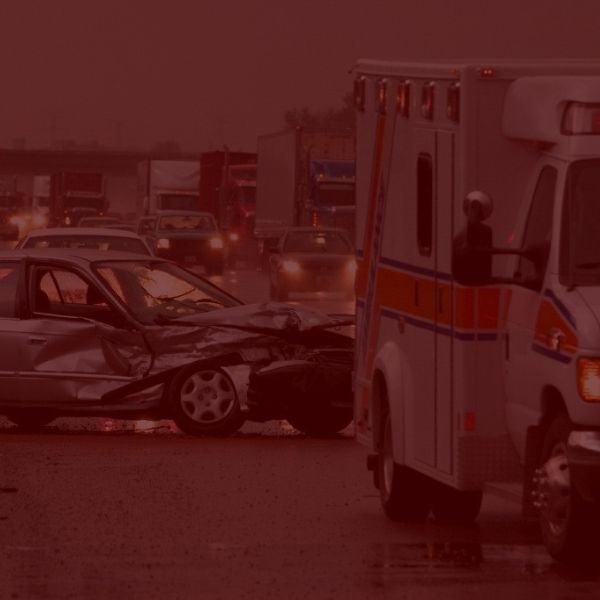
Most Common Areas for Accidents in the Temecula, CA Area
In Temecula, CA, vehicle accidents commonly occur on certain busy highways, streets, and intersections due to high traffic volumes, complex traffic patterns, and frequent congestion. Here are some of the most notable locations:
1. Interstate 15 (I-15)
- The I-15 freeway is one of the busiest roads in Temecula and a significant accident hotspot. It serves as a primary route for travelers commuting to and from San Diego and Riverside counties. Key areas of concern include:
- Winchester Road (Highway 79): This interchange connects to major shopping centers and sees heavy merging and exiting traffic, especially during rush hours.
- Temecula Parkway (Highway 79 South): This interchange serves as a major route for local traffic heading south. The high volume, along with complex on/off ramps, often leads to rear-end collisions and sideswipe incidents.
- Rancho California Road: Known for congestion, especially on weekends, when tourism increases in the Temecula Valley Wine Country. Traffic merging on and off the freeway often leads to accidents due to abrupt lane changes and speeding.
2. Winchester Road (Highway 79 North)
- Winchester Road is heavily trafficked and connects central Temecula with Murrieta and other nearby cities. Key intersections like Nicholas Road and Murrieta Hot Springs Road experience a high number of collisions due to the dense traffic and frequent turning vehicles.
- The area around the Promenade Temecula shopping mall on Winchester Road is particularly accident-prone, with the combination of shoppers, pedestrians, and commuter traffic.
3. Temecula Parkway (Highway 79 South)
- This road experiences significant congestion as it leads to popular residential areas, shopping centers, and access points for the wine country.
- The intersections at Butterfield Stage Road and La Paz Street see many accidents due to frequent lane changes and high-speed traffic, especially during peak hours.
4. Rancho California Road
- As a main route leading to Temecula’s wine country, Rancho California Road sees high traffic volumes on weekends. Jefferson Avenue and Ynez Road intersections are particularly busy, with rear-end and T-bone accidents often reported. Traffic here is further complicated by frequent stops and slow-moving tourist vehicles, as well as commercial traffic to and from wineries.
5. Old Town Temecula
- The narrow streets and heavy pedestrian traffic in Old Town, particularly along Front Street, Temecula Parkway, and 6th Street, contribute to a high rate of minor accidents, especially during tourist seasons. Drivers often need to make abrupt stops for pedestrians, and navigating the area’s narrow lanes can lead to sideswipes and fender benders.
6. Butterfield Stage Road
- This road is a common route for residents in northeast Temecula and is heavily traveled by commuters. The intersections at Pauba Road and Temecula Parkway are notable for frequent accidents, as increased residential development has led to more traffic and occasional speeding on this arterial road.
These key locations are prone to accidents due to a mix of high traffic volumes, freeway interchanges, and complex traffic flow patterns, especially during peak commuting hours and weekends when tourist traffic rises.
Sources:
- California Highway Patrol (CHP): The CHP maintains traffic collision reports and accident data, especially for highways like I-15. Their SWITRS (Statewide Integrated Traffic Records System) database is commonly used for analyzing accident trends, locations, and causes.
- City of Temecula Traffic and Transportation Department: This department often compiles data on traffic flow and accident hotspots within the city, based on road surveys, police reports, and public safety evaluations.
- Riverside County Transportation Department: As Temecula is part of Riverside County, the county’s transportation department collects and publishes data on accident rates and traffic patterns for various streets and intersections.
- Local News Outlets and Public Records: News sources like the Press-Enterprise and Valley News often report on frequent accident locations, including specific intersections and stretches of road that have recurring issues.
- Insurance Industry Reports: Companies and agencies like the California Office of Traffic Safety (OTS) often collaborate with insurance companies to analyze high-risk areas based on claims data.
- Community Feedback and Social Media: Many communities use local social media pages or forums, like those on Facebook or Nextdoor, to discuss traffic and accident-prone areas, which helps identify less-documented but problematic intersections.
- Waze and Google Maps Traffic Data: GPS navigation apps collect data on traffic incidents and accidents in real-time, and their historical data often highlights high-risk areas, especially for commuter-heavy zones and congested intersections.


